How the War Crates Flew: Airplane Cooperation with the Artilary
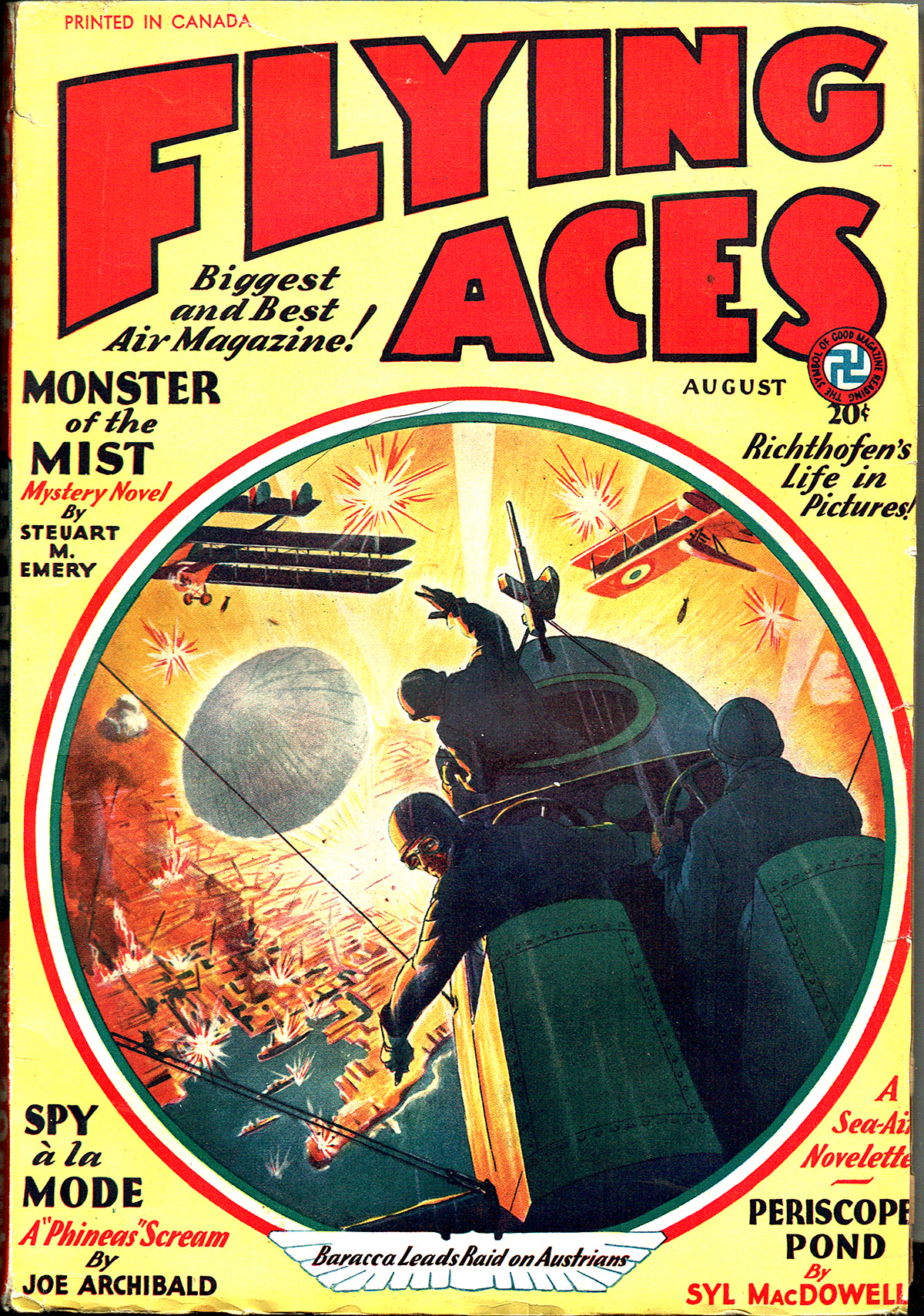
FROM the pages of the August 1932 number of Sky Fighters:
Editor’s Note: We feel that this  magazine has been exceedingly fortunate in securing R. Sidney Bowen to conduct a technical department each month. It is Mr. Bowen’s idea to tell us the underlying principles and facts concerning expressions and ideas of air-war terminology. Each month he will enlarge upon some particular statement in the stories of this magazine. Mr. Bowen is qualified for this work, not only because he was a war pilot of the Royal Air Force, but also because he has been the editor of one of the foremost technical journals of aviation.
Airplane Cooperation With the Artillery
by Robert Sidney Bowen (Sky Fighters,August 1932)
COLONEL BOWERS leveled calm gray eyes at the pilots of the 42nd Pursuit Squadron.
“Gentlemen,†he said, “The Seventh Field Battery will start its shoot of the German rail-head, back of Issy, tomorrow morning at nine sharp. The Fiftieth Observation Squadron will conduct the shoot, and it will be your job to see that they are protected from German patrols. I know I can depend upon you to do a damn fine job.â€
OF COURSE you can, Colonel. The 42nd boys will go over and knock the pin feathers off any Huns who get nasty. But there happens to be a couple of fledglings around here who are piping up with questions about what those observation ships have got to do. Now, you and I both know that during the late war the observation ship boys missed a lot of praise and credit that they rightly deserved. So I think it would be a good idea if we gathered ’round and chinned about observation ships and shoots for awhile.
Okay, then let’s gather.
Naturally the main idea of observation ships was to observe. And of course, what they observed was anything going on below on the ground. So in order that these question-asking fledglings won’t interrupt us, we will start with the ground and work our way up.
The map of France was divided into a number of sheets that were key-numbered so that you could easily find the adjacent sheets if you wanted to. Each sheet was 36,000 yards by 22.000 yards. And each of those sheets was divided into twenty-four lettered squares, lettered from A to X. (Fig 1)
You’ll note that there are four rows of six squares. And of course you want to understand that the top represents the northerly direction, the bottom the southerly, and the two sides east and west respectively. Well, so much for that. Now, the squares in the top and bottom rows were 6,000 by 5,000 yards. And the squares in the two middle rows were 6,000 by 6.000 yards.
Alright, now the top and bottom rows were again divided into thirty squares numbered from one to thirty. And the squares in the two middle rows were divided into thirty-six squares, numbered from one to thirty-six. To show just what we mean let us take Square A and Square K of Fig. 1, and what do we have? Well, take a look at Fig. 2. Get the idea?
Okay. Now as Square A is 6,000 by 5,000 yards and divided up into thirty numbered squares, it makes each of those squares 1,000 yards square. And as Square K is 6,000 by 6.000 yards and divided up into thirty-six numbered squares, it makes each of those squares 1,000 yards square also.
Now to check back for a moment, we started with a map sheet representing one section of land 36,000 by 22.000. We divided it up so that we got twenty-four sections of land, twelve of them 6,000 yards by 5.000 yards, and twelve of them 6,000 by 6,000 yards. And then we took those twenty-four squares and divided each of them into squares 1,000 yards by 1,000 yards. So you see we are now able to pick out any area of 1.000 yards by 1,000 yards on a section of land that was 36,000 by 22,000 yards when we started.
But we want to get it down smaller than that, so we take each one of these 1000 yards by 1000 yards squares and divide them again into four squares each and letter them A, B, C and D. And of course you can figure that each of these new squares is 500 yards by 500 yards. And just so’s you won’t forget look at Fig. 3.
However, 500 yards by 500 yards is still a pretty big area, so we will get it down smaller yet by starting with the lower left hand corner of each of the lettered squares and marking off ten equal points to the right and ten equal points straight up. Now, if we continued out those lines we would have 100 more squares with each square being 50 yards by 50 yards. Or if necessary we could divide each lettered square of Fig. 3 into 1,000 squares, each of which be five yards by five yards. But 100 squares, 50 yards by 50 yards each is small enough.
NOW all of these squares I’ve been talking about are all printed on the map sheet and lettered and numbered accordingly. That is, all except the last four lettered squares (A, B, C, D). They aren’t marked off in 100 squares usually. They are just left blank and you imagine where the ten equal spaced lines are going to the right, and going from the bottom up, beginning at the left side. Of course, though, if that particular observer was fussy he’d mark in the lines. Fig. 4.
I knew it. … I knew it! That fledgling sitting over there has just got to ask questions, hasn’t he!
He pipes up with: “What’s all these squares got to do with an artillery shoot?â€
Alright, I’m getting to that right now. The Colonel has told the boys that the Seventh Artillery is going to let drive on the rail-head back of Issy. Well, does the artillery know the exact location of that rail-head? Perhaps they’ve never shot at it before.
Sure they know it . . . because the observation planes have already spotted it for them.
But to make everything clear for this question-asking fledgling we’ve got here, let’s say that instead of a rail-head it’s an ammunition dump that sprang up over-night, and that the observer notes it for the first time while out on patrol. Call it anything you want . . . but at least something that’s important and must be fired upon right away.
The leader of the observation flight sees it, and immediately starts to locate it on his map so that he can wireless the news (with the small sending sets carried) back to the gunners. Naturally he knows it’s on the map sheet he has, because he took off with the correct key numbered map sheet for the area he was going to patrol.
So by comparing the map with things on the ground (rivers, woods, towns, etc.) he finds that the ammo dump is in Square K. He looks closer and notes that it is in Square 15 of Square K. He keeps on looking and notes that it is in Square D of Square 15. And by figuring still closer he notes that the ammo dump is right where line 7, running from left to right in Square D, crosses perpendicular line 5. In other words he has pin-pointed the ammo dump, or whatever the target is, in an area of 50 yards by 50 yards.
Then he calls the battery on the wireless key by sending down a prearranged code number and the battery number. He does that three times at intervals of one minute each. Then he sends the pin-point map reading of where the target is. You’ve guessed it! Sure, he sends down the map sheet key-number, and then sends K—15—D—7—5. The gunners receive that and know just where to find the target on their map. And when they find that, they can set their guns for the range required.
So, that’s how an observation plane spots a target and sends its exact location back to the “blind†gunners.
Now, let’s say that the guns are ready to fire. The observation pilot has sent down the code-call three times, and he also sends down the pin-point location three times. And then he sends down the order to fire.
INCIDENTALLY, whenever the observer sends wireless messages to the battery he does so when he is flying from the target toward the battery.
Okay, the Fire! is sent down, and the plane banks around and flies back toward the target. At the end of three minutes the battery fires a shell over. The observer notes where it falls in relation to the target and then when the plane banks around and flies toward the battery again he sends down the correction.
Now for the corrections the observer sends down.
The target being fired upon is the center of a clock, with 12 o’clock being due north and the remaining hours accordingly. Around the target are imaginary circles at radial distances of 10, 25, 50, 100, 200, 300, 400 yards, etc. And these circles are lettered from the center Y, Z, A, B, C, D, E, F, etc.
So let us say that the first shell lands 200 yards north of the target. The correction would then be, C at 12 o’clock. And if the second shell lands 50 yards to the east of the target, the correction sent down would be, A at 3 o’clock. Of course I’ve been speaking of corrections. The observer simply tells the gunners where each shell lands so that they can make the correction on their gun sights. Of course there is no correction when a hit is made and the observer signals down that a hit has been made. And when the target is destroyed the signal to Cease Fire is sent down.
And now a little story before I put on my hat and call it a day with you fledglings.
It has to do with sending back new pin-point locations. There was in France, what was known as the S.O.S. call from plane to gunners. It was never supposed to be sent down unless the target was of great importance. A couple of thousand marching troops, or three or four field batteries on the road, or fifty or more motor lorries. In other words . . . mighty worthwhile shooting up. The reason being that when the S. O. S. signal came down, every gun within range of the target fired three shots. And during the latter part of the war, that usually meant 10,000 guns!
Well, it seems that an Allied pilot was one day straffing a German staff car, and he couldn’t seem to do much about it. So he ups and gets sore and sends down the S. O. S. Now, there’s no need of my describing what happened to that staff car and all the Hun brass-hats sitting in it. But, as for the pilot . . . he was yanked off the Front and grounded for the rest of the war. Now, take that funny look off your faces, because I’m telling you right from the shoulder, that poor peelot was not yours truly!


 of
of 